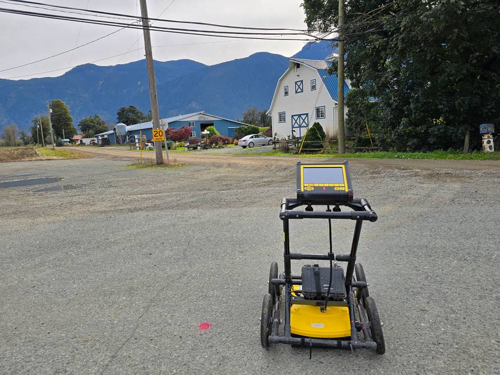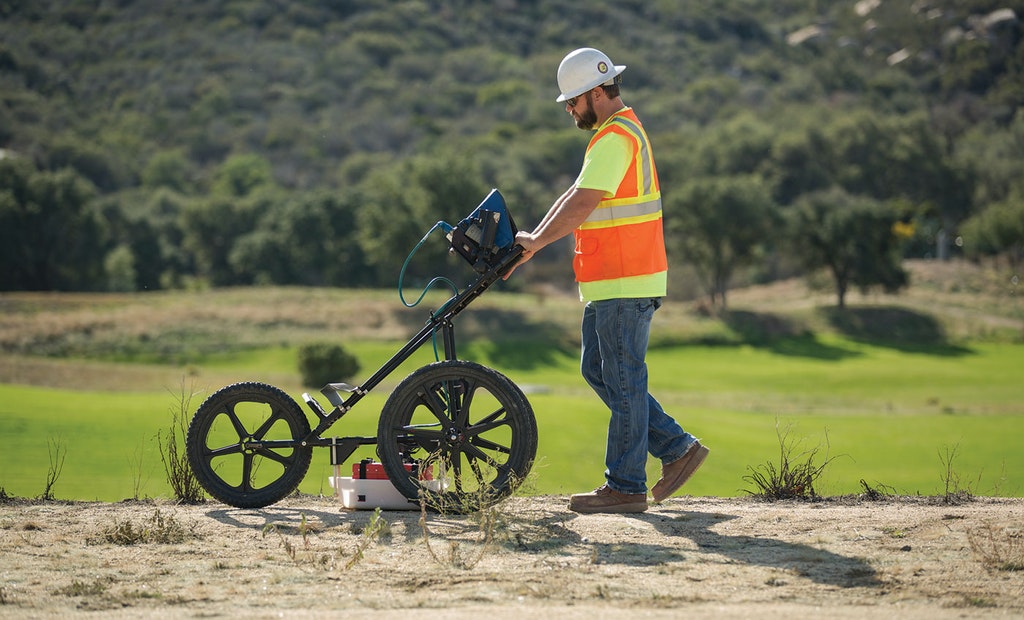
Ground Penetrating Radar (GPR) is a non-invasive technology used by Geosign Subsurface to detect and map underground structures, utilities, and anomalies with exceptional precision. GPR emits high-frequency radio waves into the ground, and by analyzing the reflected signals, it provides detailed imaging of subsurface materials. This versatile method allows us to locate a wide range of underground elements, including non-metallic utilities, voids, pipes, and even archaeological artifacts.
How GPR Works
GPR operates by sending electromagnetic pulses into the ground, which reflect back to the surface when they encounter different subsurface materials. These reflections are captured by specialized receivers, and the data is processed to create a visual representation of what lies below. This technology is highly effective for both shallow and deeper investigations, making it ideal for projects where traditional utility locating methods might not detect non-metallic or non-conductive materials like plastic pipes or concrete.
Benefits of GPR
- Versatility: GPR is capable of detecting both metallic and non-metallic objects, such as plastic pipes, concrete structures, and underground voids, making it a versatile tool for diverse applications.
- Non-Invasive: GPR allows us to perform subsurface investigations without disrupting the surface, preserving the environment and reducing excavation costs.
- Accurate Depth Measurements: GPR provides not only the location but also the depth of buried utilities and structures, offering comprehensive subsurface data.

Ideal Applications
GPR is ideal for a wide variety of projects, including utility locating, structural analysis, archaeological surveys, and environmental assessments. It is particularly valuable in areas where metallic detection methods are insufficient, or when precise imaging of underground conditions is needed for planning and safety purposes.
Why Choose Geosign Subsurface
At Geosign Subsurface, we use the latest GPR technology to deliver fast, accurate results for your subsurface mapping needs. Our experienced technicians can analyze and interpret GPR data to provide detailed reports, ensuring your project moves forward safely and efficiently, with a clear understanding of the underground environment.

